|
|
| Photos contributed by Jeff
Bittner of Davenport, Iowa (Click on thumbnail image to view a larger picture - large photos may take a short while to load) |
|||
|
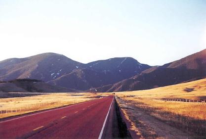
"Goin Up Red Road" is taken west of Dayton and east of the Bighorns in October of 2001. It is, obviously, taken facing west. | 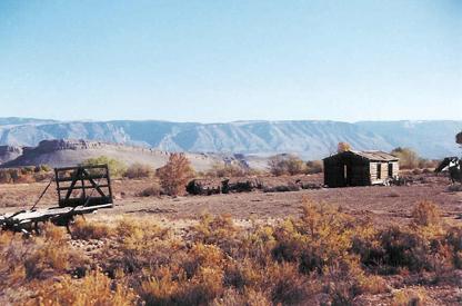 |
"Old Shack" is taken just west of Shell in either May of 2002 or October of 2002. |
|
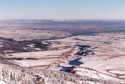
"Winter Valley Below" is taken from the Bighorns looking east toward Dayton and Ranchester. I believe this picture was taken October 2002. | 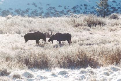 |
"Juvenile Moose" was taken in a meadow off of U.S. 16 in October 2002. |
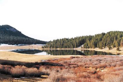 |
This is the lake right off of U.S. 16 in the middle of the National Forest. I think it is the lake with the large recreational development on it. | 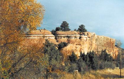 |
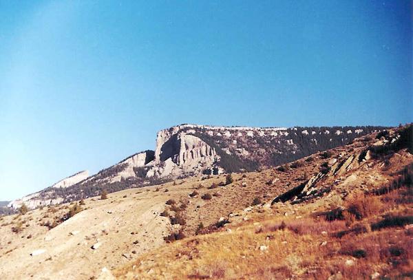
"Yellow Round Rock" is taken on U.S. 16 between Ten Sleep and The Bighorn National Forest. |
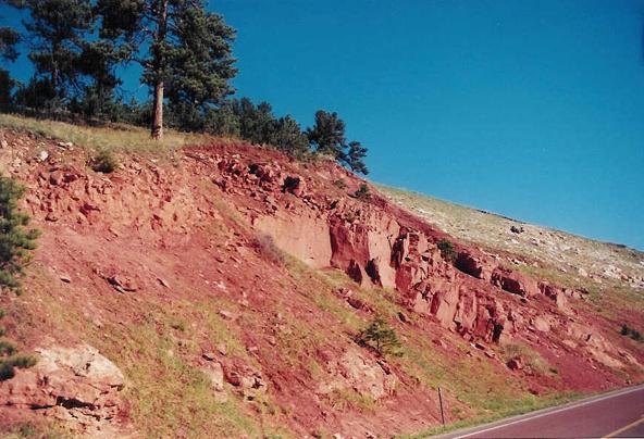 |
Blue Sky/ Pink Rock. Taken on the ascent into the Bighorns from Dayton on U.S. 14. | 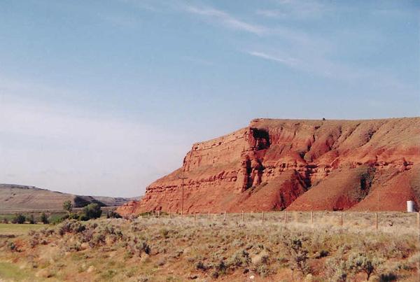 |
Cliffs of Lower Nowood Road. Taken 1/2 mile northwest of where the road intersects with U.S. 16. |
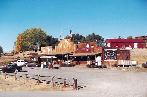 |
Dirty Annie's. Taken at Dirty Annie's just west of the Bighorn National Forest on U.S. 14. | 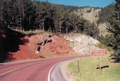 |
Goose Egg Formation. Taken on the ascent into the Bighorns from Dayton on U.S. 14. |
 |
Old West II. Taken East of Shell Falls on U.S. 14 facing west after beginning descent on U.S. 14. | 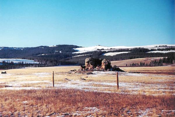 |
Rocks of the Bighorns. Taken on U.S. 14 around Burgess Junction. |
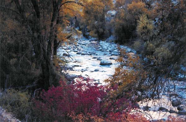 |
Shell Creek Colors. This is a picture of the foilage along Shell Creek taken in October 2002. | 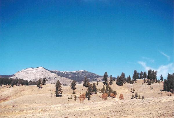 |
Takin' the High Road. Taken east of Granite Pass facing west on U.S. 14. |
Many thanks to Jeff for contributing these photos! |
|||
Return to Photo Galleries Index Page |
You are visitor
|
Send e-mail to
BighornMountains.Com |